The Harmed Success Stories Concepts How To What Is Commentary
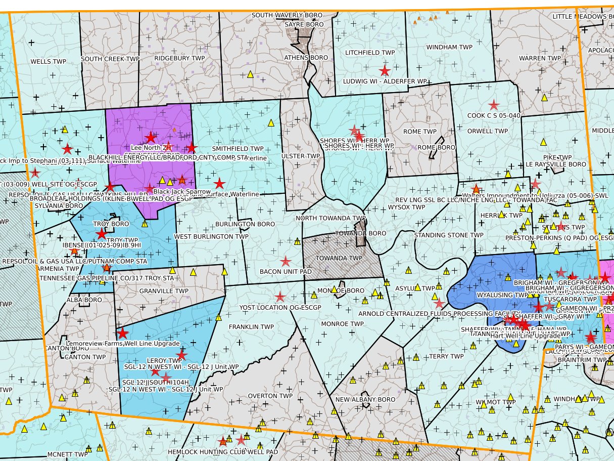
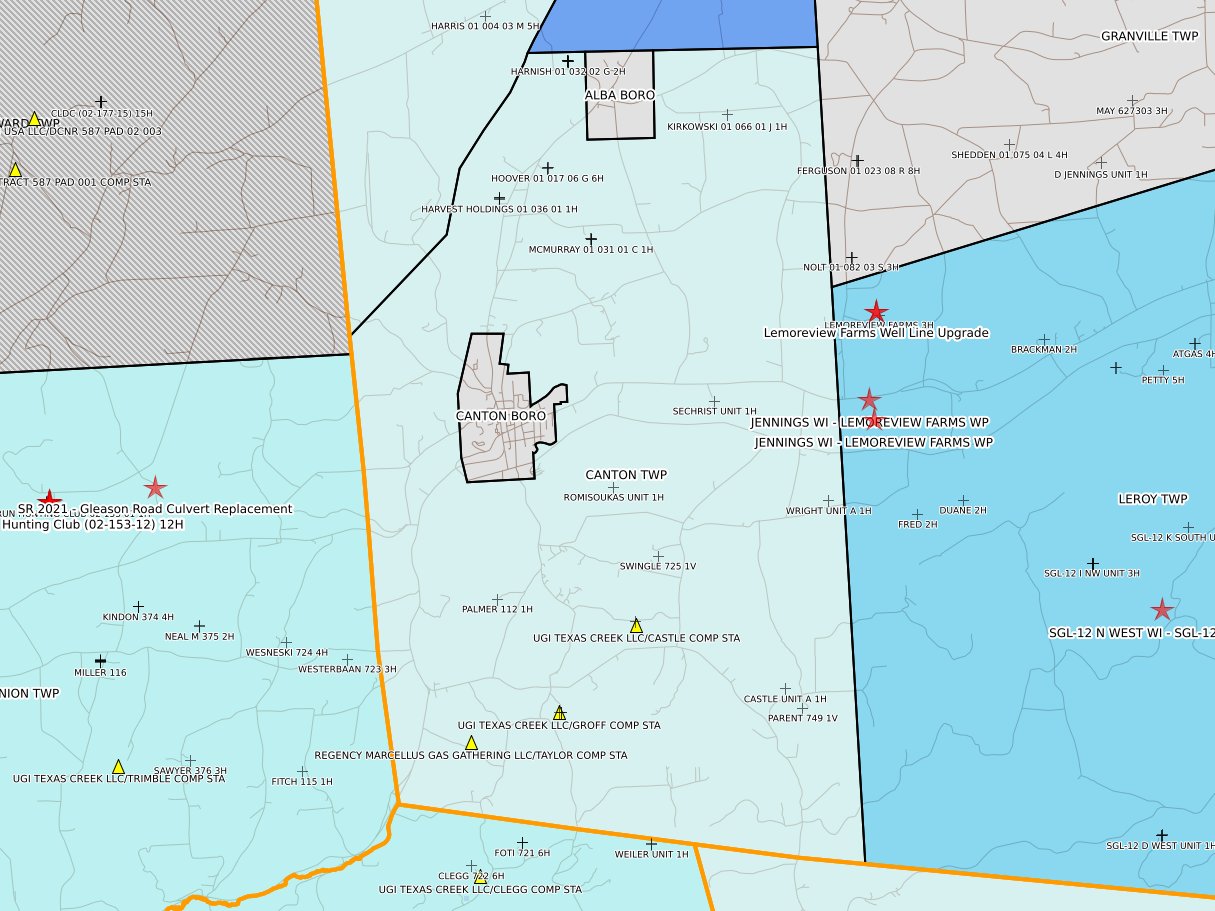
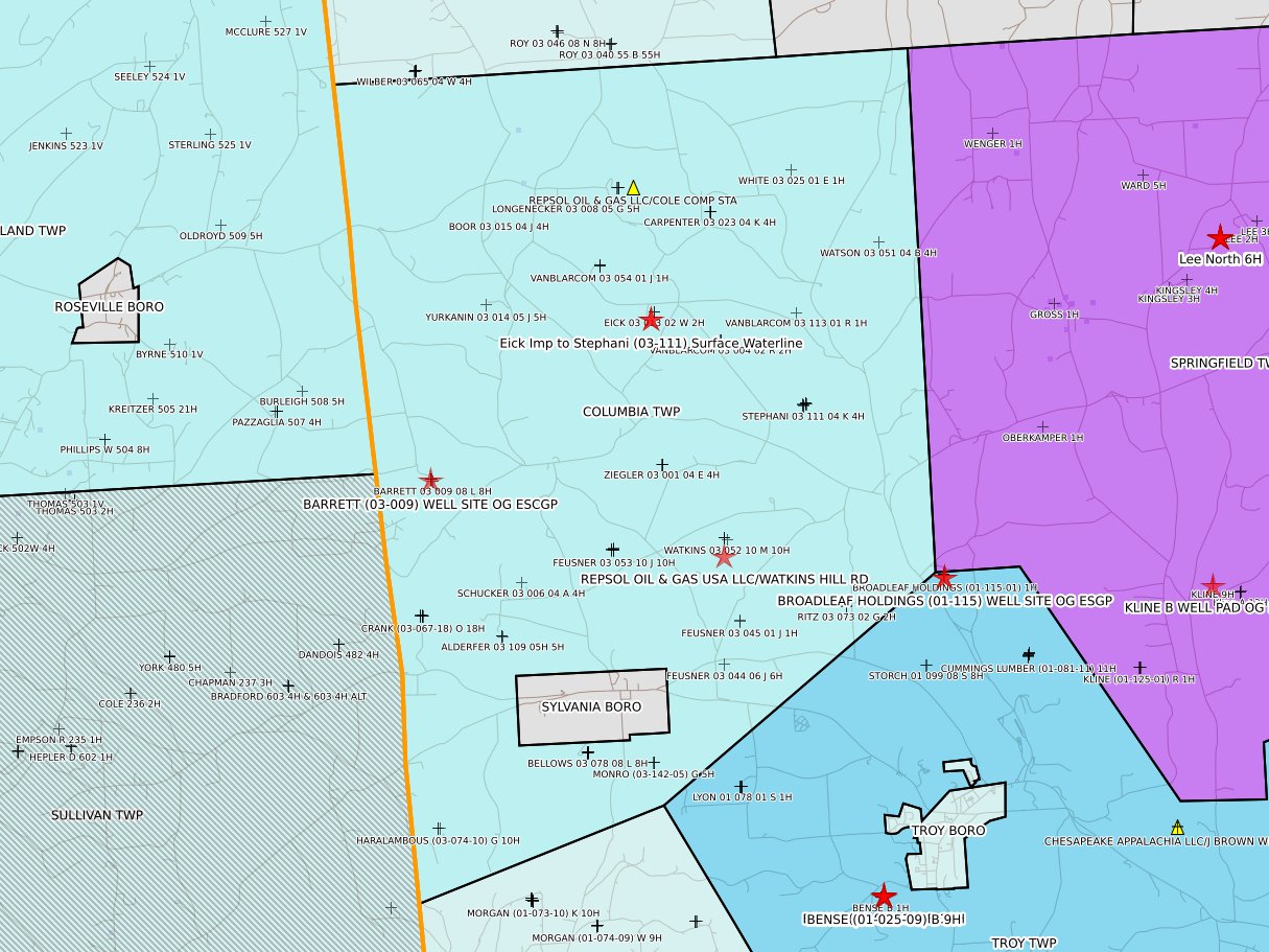
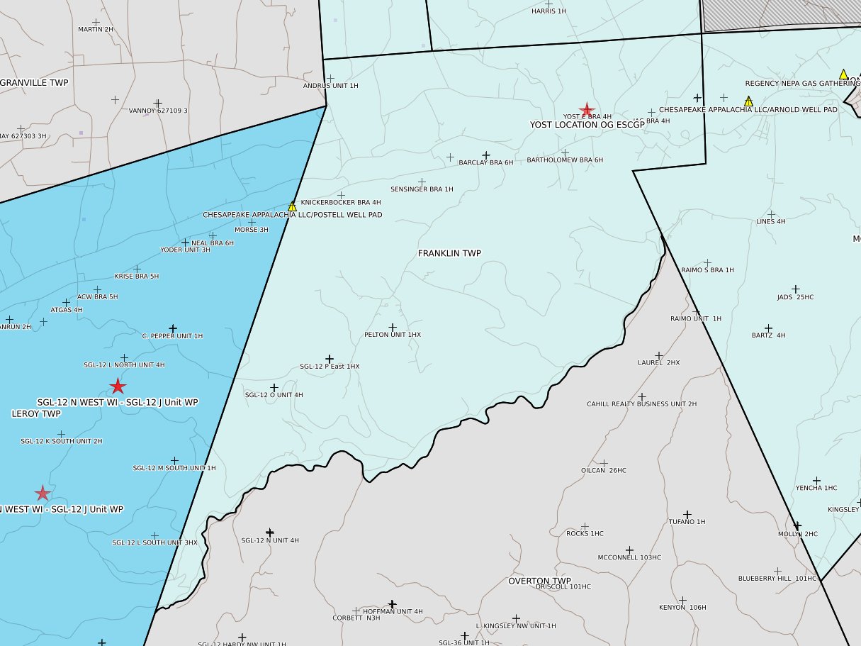
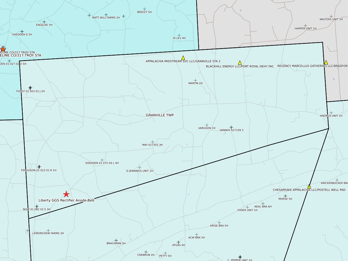
Bradford County Oil & Gas Pending and Recently Disposed Permits
Data as of 2026-07-14
This report shows all DEP permits for Bradford County that are either pending or "disposed" within the past 30 days. Disposed typically happens when a permit is issued; less often when a permit is withdrawn or (very very infrequently!) denied. The table of contents shows Oil & Gas related permits in full-sized type and boldface; other permits show in normal type and smaller size. Whether a permit is considered Oil & Gas related is determined mostly by an algorithm, which can be wrong. There is a manual override table for exceptions. If you believe the listing of Oil & Gas status is shown incorrectly, please send details using the Contact link at the top of this page. Please note that neither conventional wells nor natural gas distribution pipelines are excluded.
Not all permits are easy to geolocate; you will probably find cases where the municipality color coding does not agree with the number of red stars. Also, DEP's data is not always correct.
Click a map to
enlarge
 |
 |
 |
 |
|
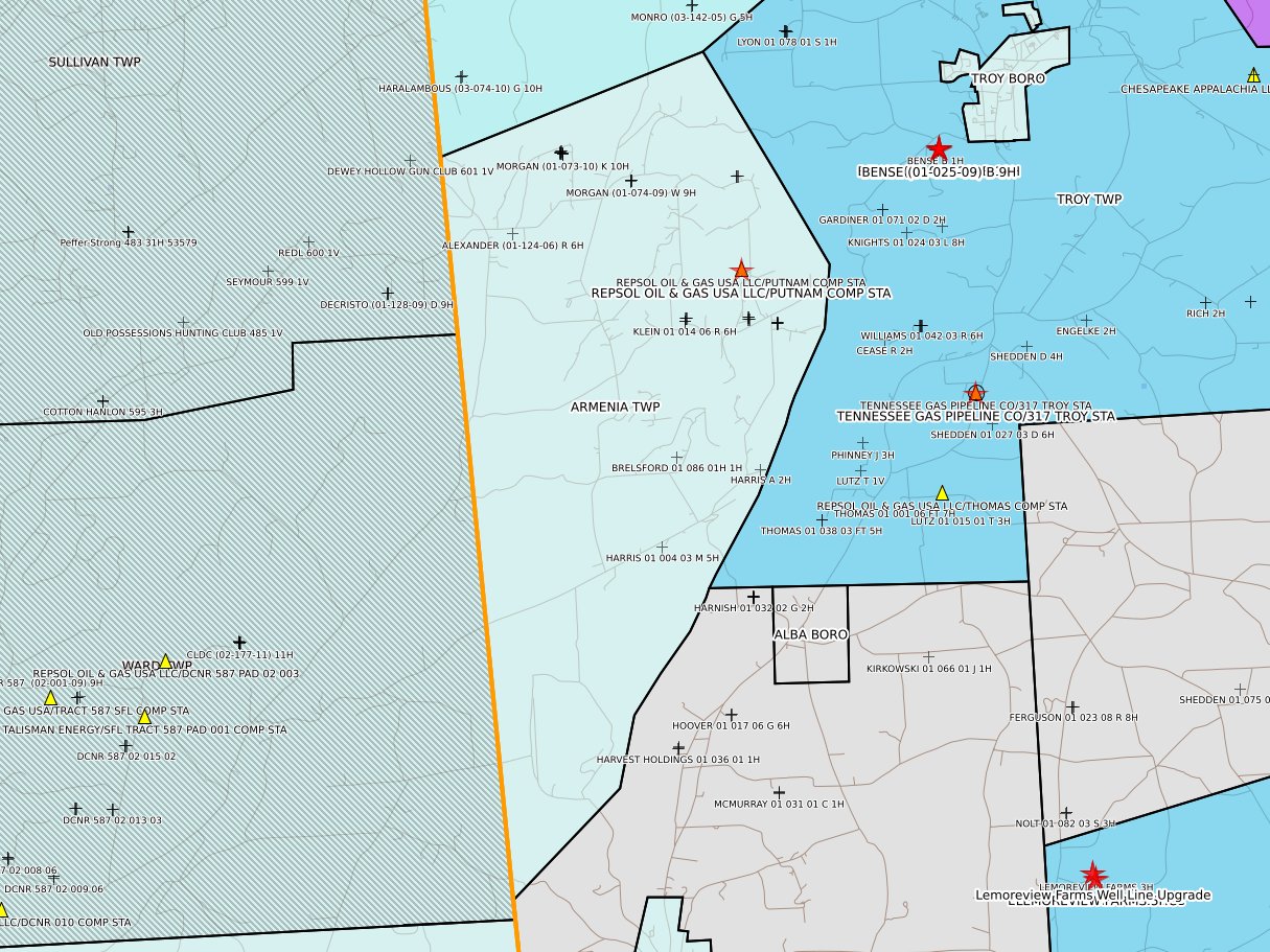
Armenia Twp
|
Asylum Twp
|
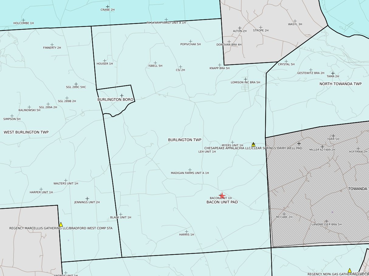
Burlington Twp
|
Canton Twp
|
 |
 |
 |
 |
|
Columbia Twp
|
Franklin Twp
|
Granville Twp
|
Herrick Twp
|
 |
 |
 |
 |
|
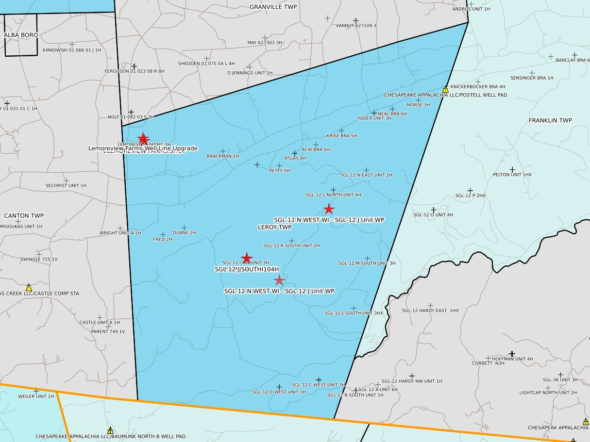
Leroy Twp
|
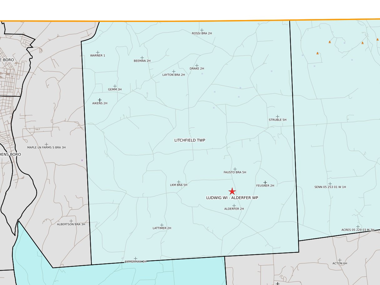
Litchfield Twp
|
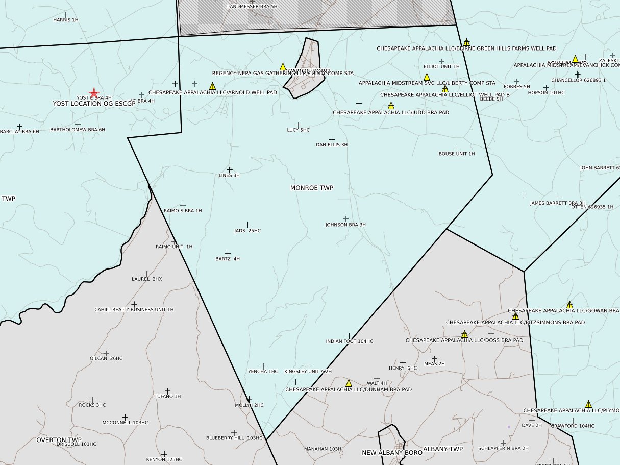
Monroe Twp
|
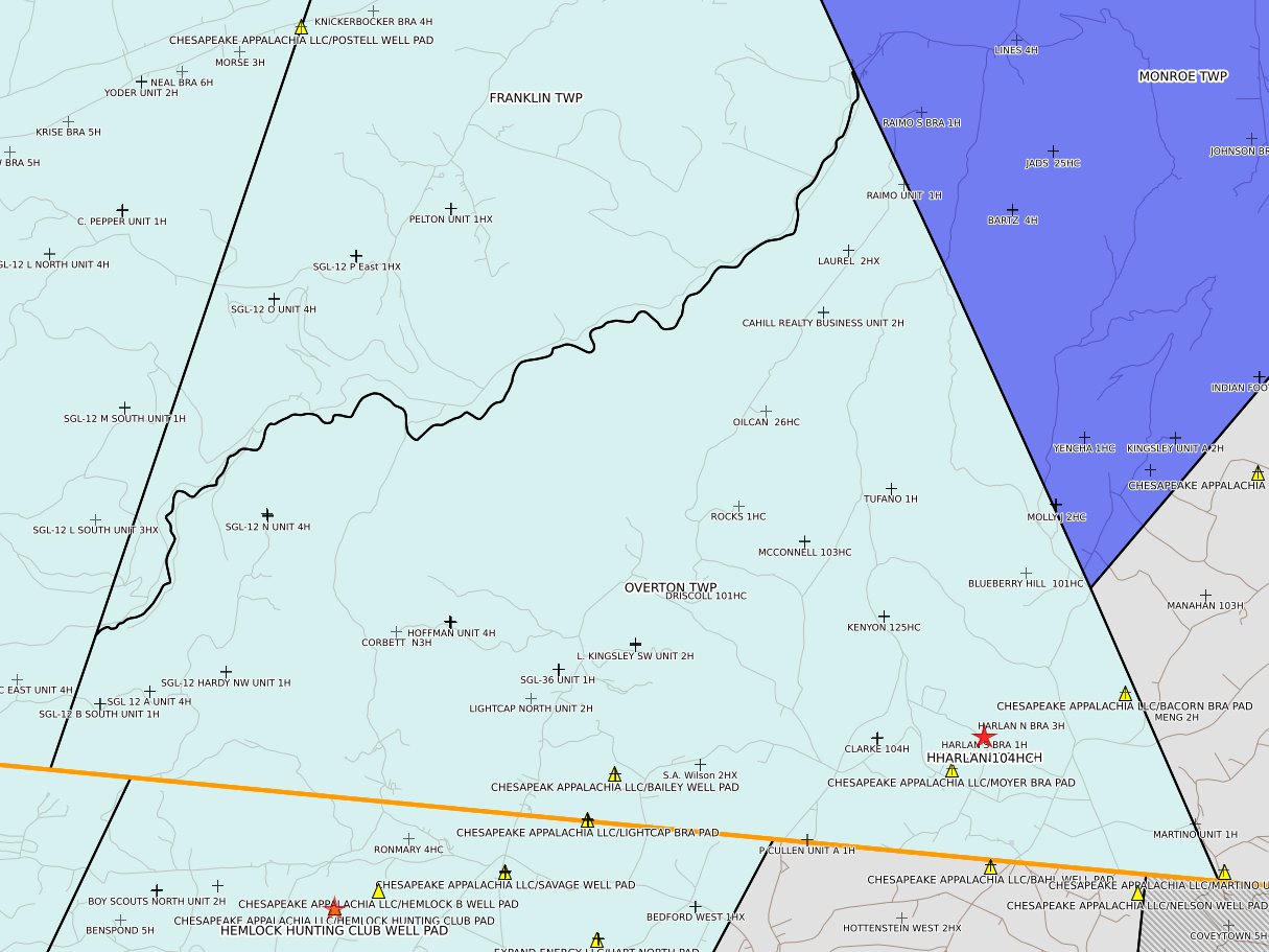
Overton Twp
|
 |
 |
 |
 |
|
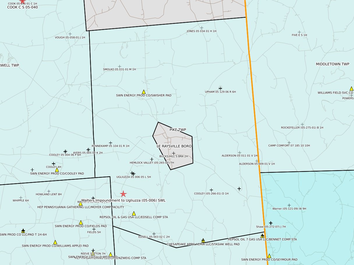
Pike Twp
|
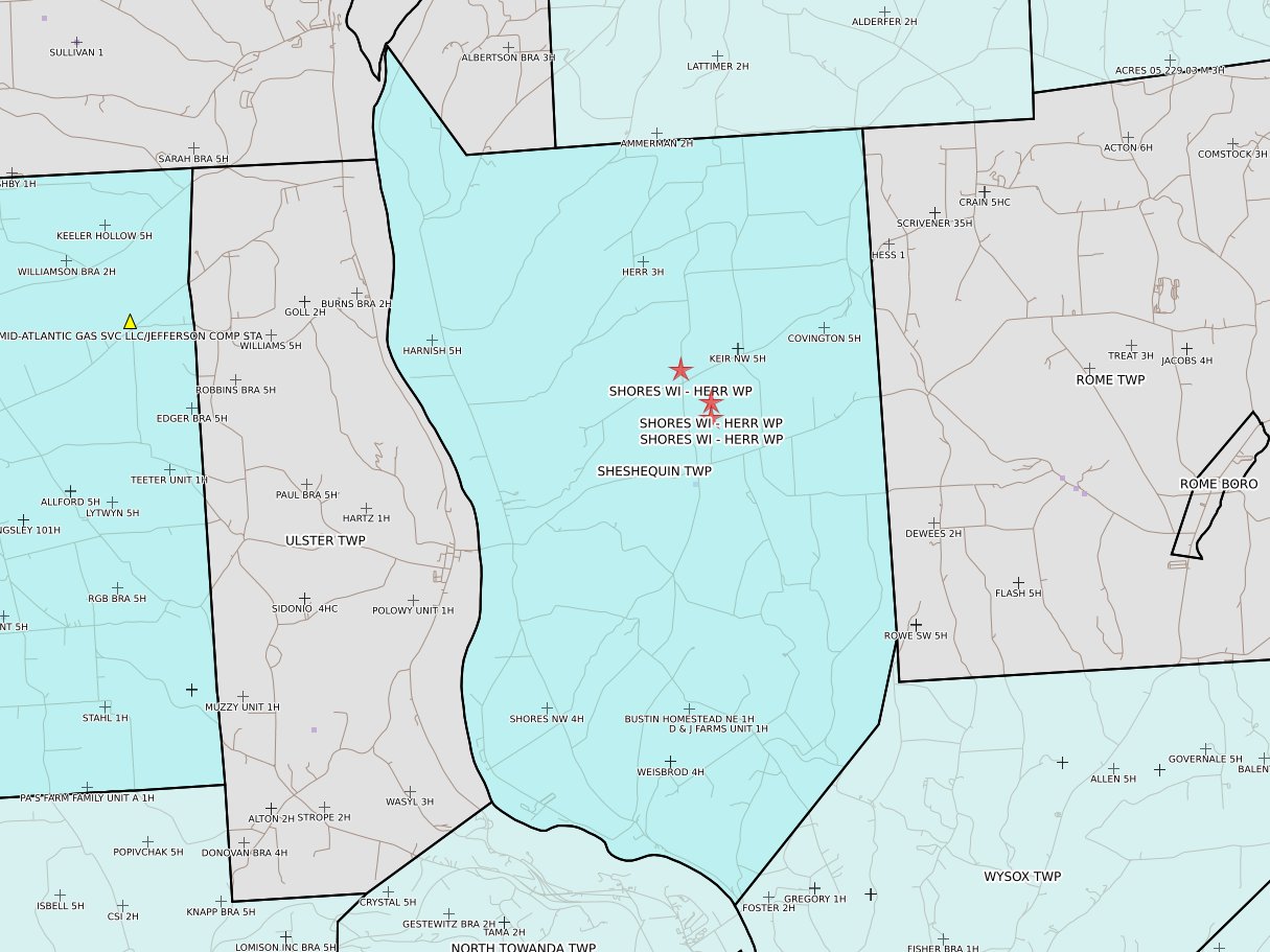
Sheshequin Twp
|
Springfield Twp
|
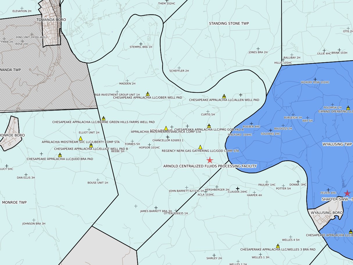
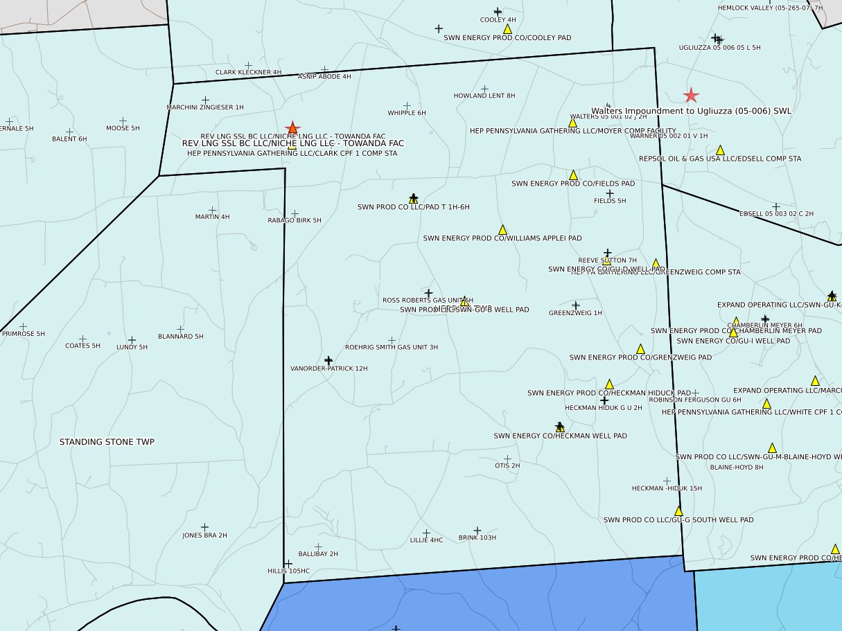
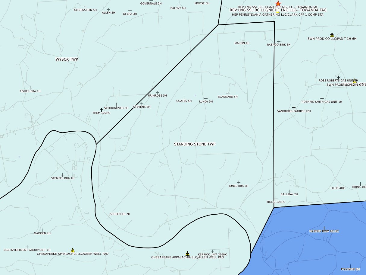
Standing Stone Twp
|
 |
 |
 |
 |
|
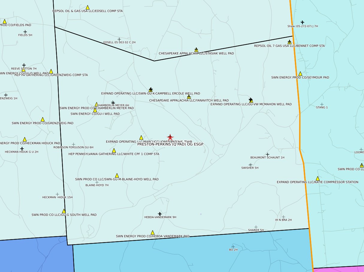
Stevens Twp
|
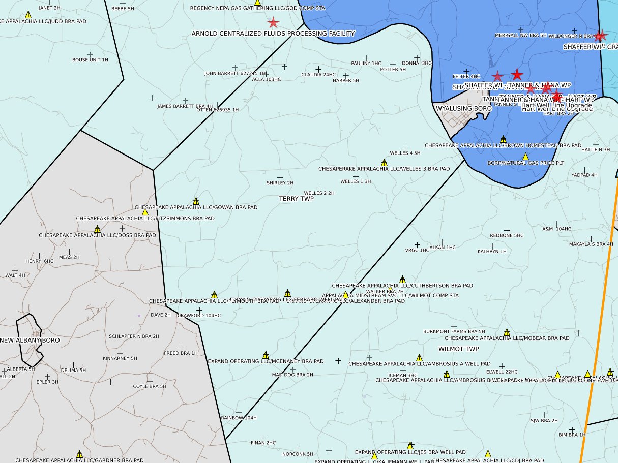
Terry Twp
|
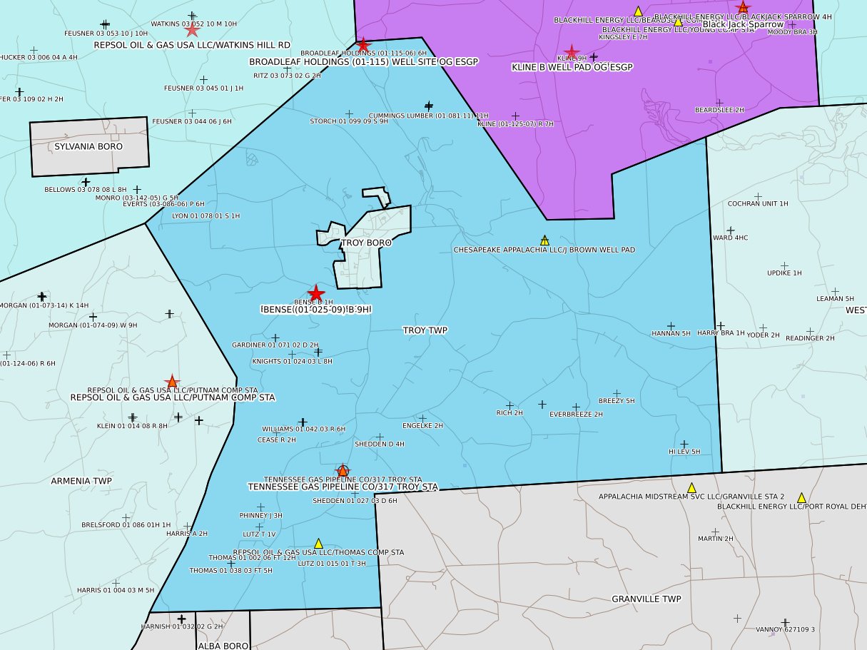
Troy Twp
|
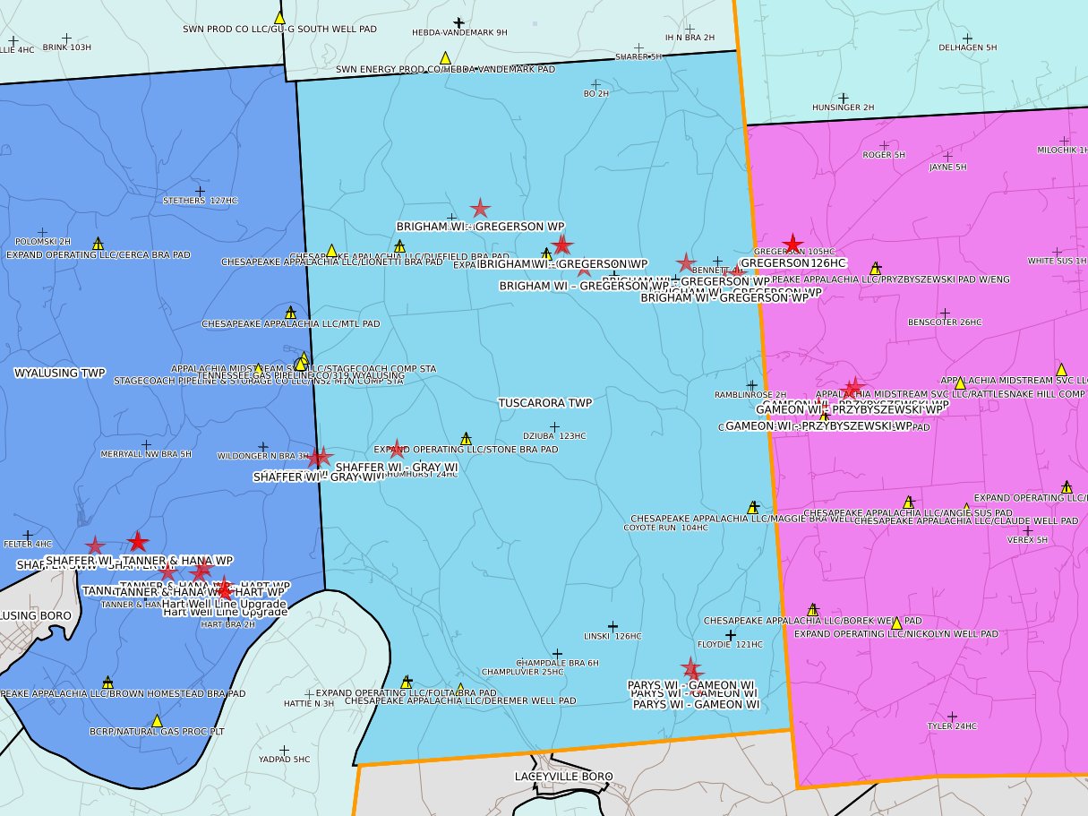
Tuscarora Twp
|
 |
 |
 |
 |
|
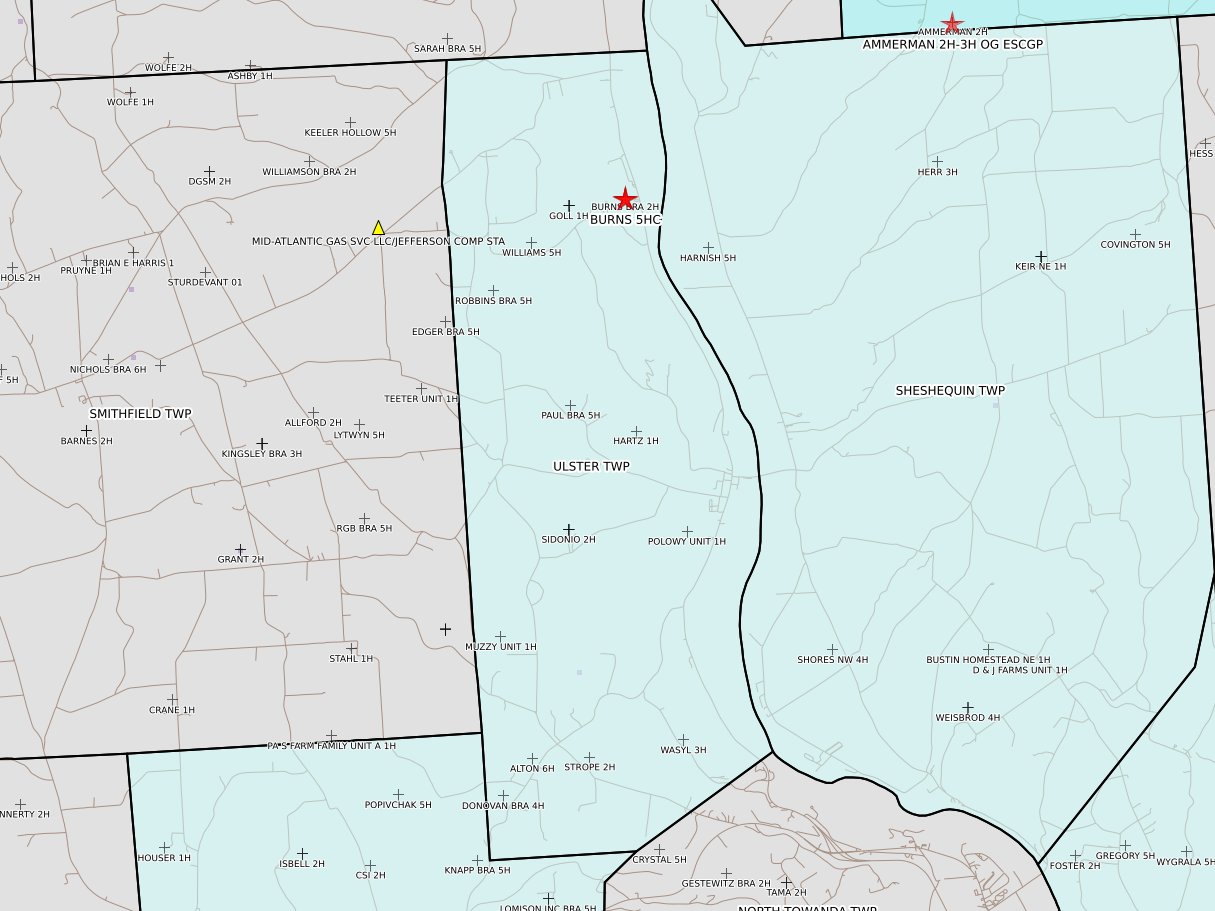
Ulster Twp
|
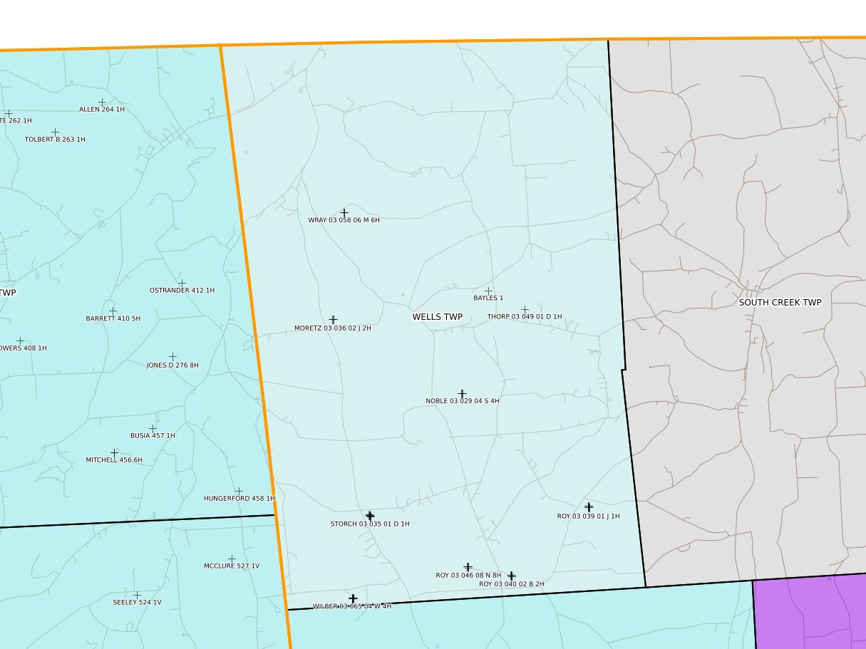
Wells Twp
|
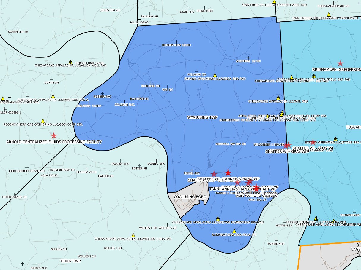
Wyalusing Twp
|
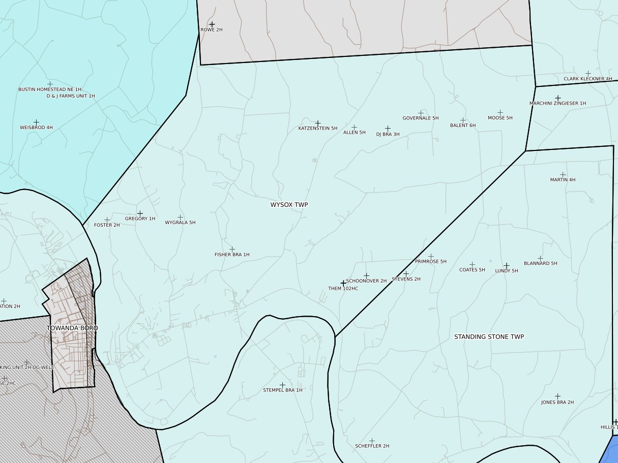
Wysox Twp
|