The Harmed Success Stories Concepts How To What Is Commentary
Sinkholes Open Beneath Texas Eastern Pipeline near Shamrock Compressor Station
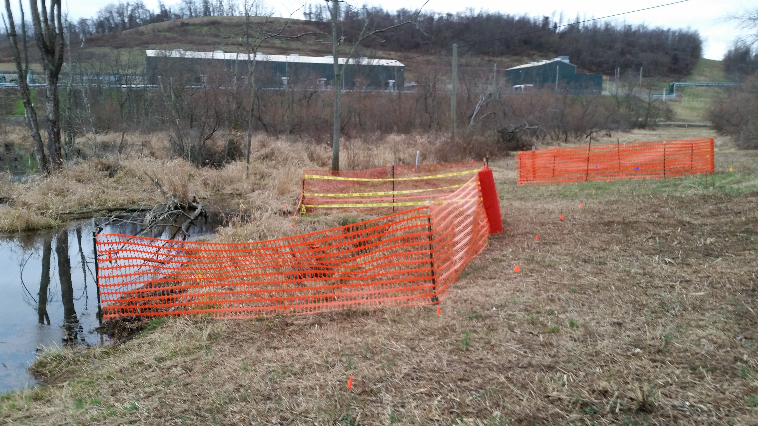
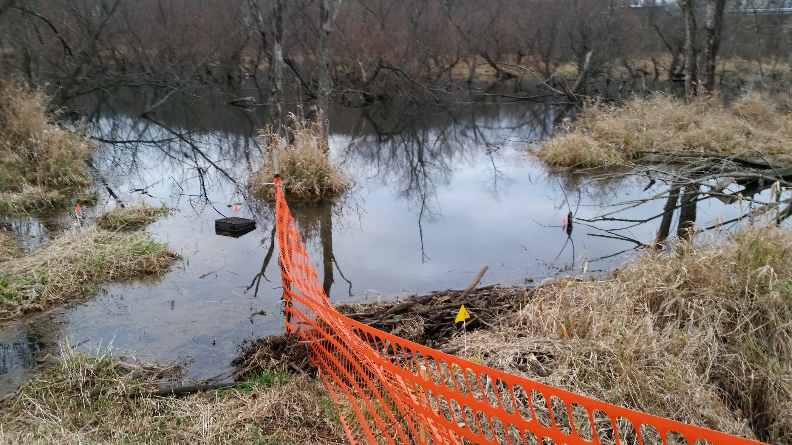
Warning fencing surrounds two sinkholes on the right of way of Texas Eastern’s WAYN-UNIO interstate natural gas transmission line near New Salem PA. In the background is Laurel Mountain Midstream’s Shamrock Compressor Station. In the left corner of the picture is apparently a beaver pond.
More Photos
 |
 |
 |
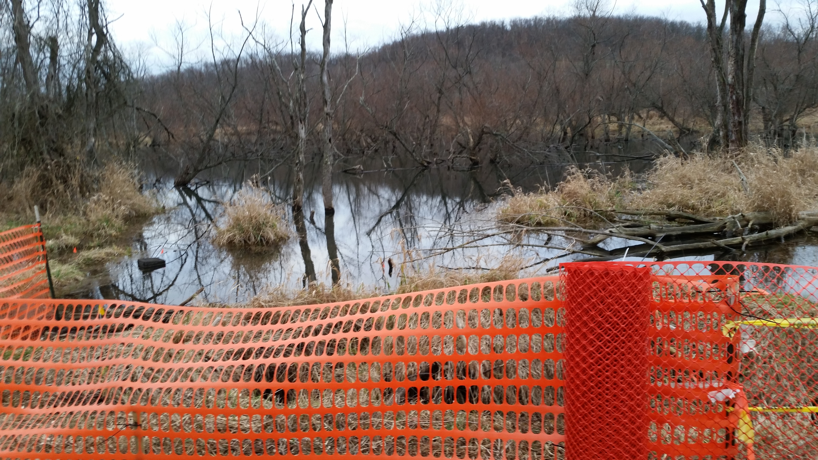 |
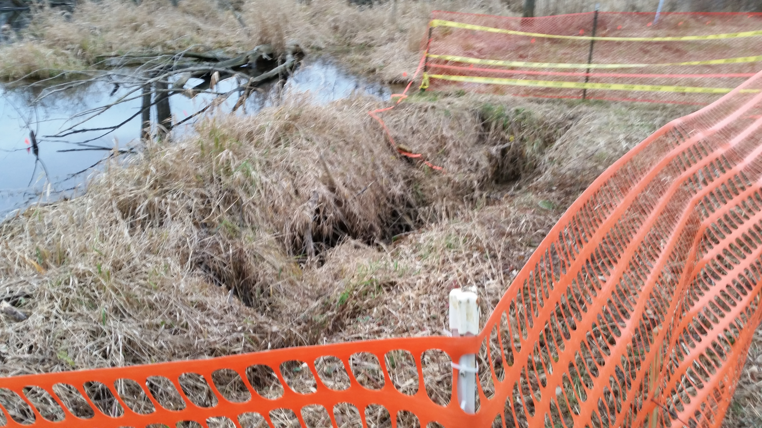
Two sinkholes have opened up on the right of way of a Texas Eastern natural gas transmission line near New Salem, PA. The transmission line is connected to Laurel Mountain Midstream’s Shamrock Compressor Station, which is LMM’s largest compressor station in Fayette County. One of the sinkholes is exposing part of the transmission line. Randy Putt, area manager for Texas Eastern, asserts that remediation of the problem is complicated by proximity to a beaver pond, and standing water is being kept from the sinkhole nearest to New Salem Road by a beaver dam. Tampering with a beaver dam requires a permit, which Putt asserts Texas Eastern has applied for. He also reports that Texas Eastern contracted an engineering firm to study the sinkholes using ground-penetrating radar; indication that the sinkholes are larger than can be seen from the surface is “not conclusive”, and the recommendation is that the sinkholes be filled with rock and then gravel. The pipeline is still live, and there are no plans to shut it down pending remediation. Texas Eastern believes that despite the sinkholes, the pipeline is fully supported.

Pipeline safety for interstate natural gas transmission lines is overseen by PHMSA, Pipeline and Hazardous Materials Safety Administration, an agency of the US Department of Transportation. PHMSA maintains a web site for mapping federally regulated pipelines called NPMS, National Pipeline Mapping System. Above is an NPMS map showing the approximate location of the sinkhole problem. This sinkhole problem was reported to PHMSA by Fayette Marcellus Watcher Jim Rosenberg on 12/5/2015, as first noted in Fayette County Marcellus Shale Permits 11/30/15 - 12/13/15:
Approximate Location: Latitude: 39.92, Longitude: -79.82327
NPMS metadata for the suspected pipeline:
OPERATOR ID: 19235
OPERATOR NAME: TEXAS EASTERN TRANSMISSION LP (SPECTRA ENERGY CORP)
SYSTEM NAME: WAYN-UNIO
COMMODITY CATEGORY: Natural Gas
COMMODITY DESCRIPTION: NATURAL GAS
INTERSTATE DESIGNATION: Y
PIPELINE STATUS CODE: In Service
GENERAL PERSON TO CONTACT: Dwayne Teschendorf(Principal Engineer)
GENERAL ENTITY TO CONTACT
GENERAL ADDRESS: 5400 Westheimer Ct,Null, Houston TX 77056
GENERAL PHONE/FAX/EMAIL: Phone: (713) 627-5573 Null Fax: Null Email: none
Notes:
Please find two attachments. The first attachment shows an NPMS screen
shot. The small dot inside the red circle gives the *approximate* location
of the suspected problem; the second attachment shows a Google Maps
satellite image, and again the suspected problem is located approximately
in the red circle.
The problem is *two sinkholes*, one of which is exposing a pipeline, which
I believe is identified above. I have not been to the site myself, but have
spoken by phone to a nearby resident who has; he reports that the sinkholes
are approximately 50 feet south of New Salem Road, "between the road and
the swamp". "Someone" is apparently aware of the problem, since a warning
fence has been placed around the sinkholes. The nearby resident believes
the gas in the pipeline has been turned off, so there is no imminent
emergency. However the concern is obviously that the sinkholes could grow.
Our area has been subject to extensive coal mining, and in many places
older residents can recall hearing stories from their older family memebers
about undocumented coal mines. This may or may not have anything to do with
the sinkholes.
In the satellite image, the facility in the lower left corner is Shamrock
Compressor Station, which is owned and operated by Laurel Mountain
Midstream. Please note that this compressor station, while as large (in
horsepower) as some compressor stations along transmission lines, is *NOT*
a FERC-regulated facility; it serves as a major hub for gathering lines in
this area of the Marcellus Shale.
Approximate Location 39.92,-79.82327 <http://osm.org/go/ZWpatJPu--?m=>
Municipality: Menallen Twp